Ortspläne
Ortsplan - neueste Version
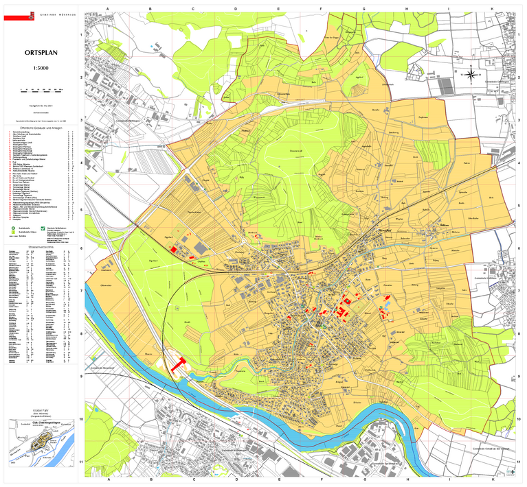
| Ortsplan Stand Mai 2021 |
| 1:5000 (PDF-Datei, hohe Auflösung, Grösse: 3,7 MB) |
Online Karten Kanton Aargau (AGIS)
Online Karten
Die Online Karten erlauben den schnellen Zugriff auf digitale Geodaten des Kantons Aargau und über die Grenzen des Kantons hinaus.
Ortsplan - ältere Versionen
| Ortsplan Stand 2016 | Ortsplan Stand 2013 |
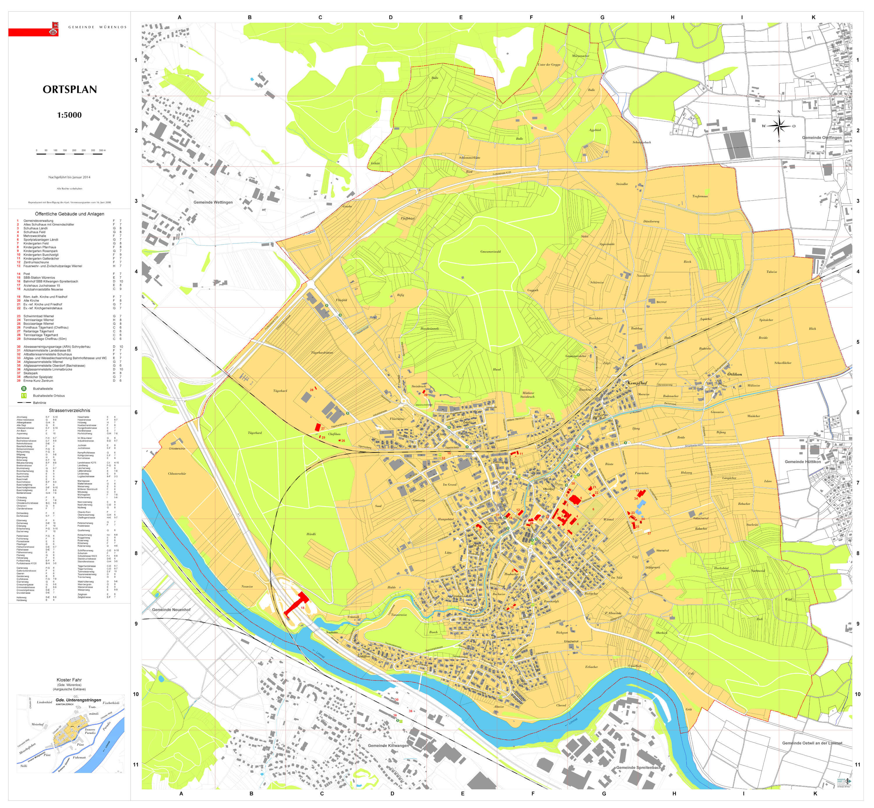 | 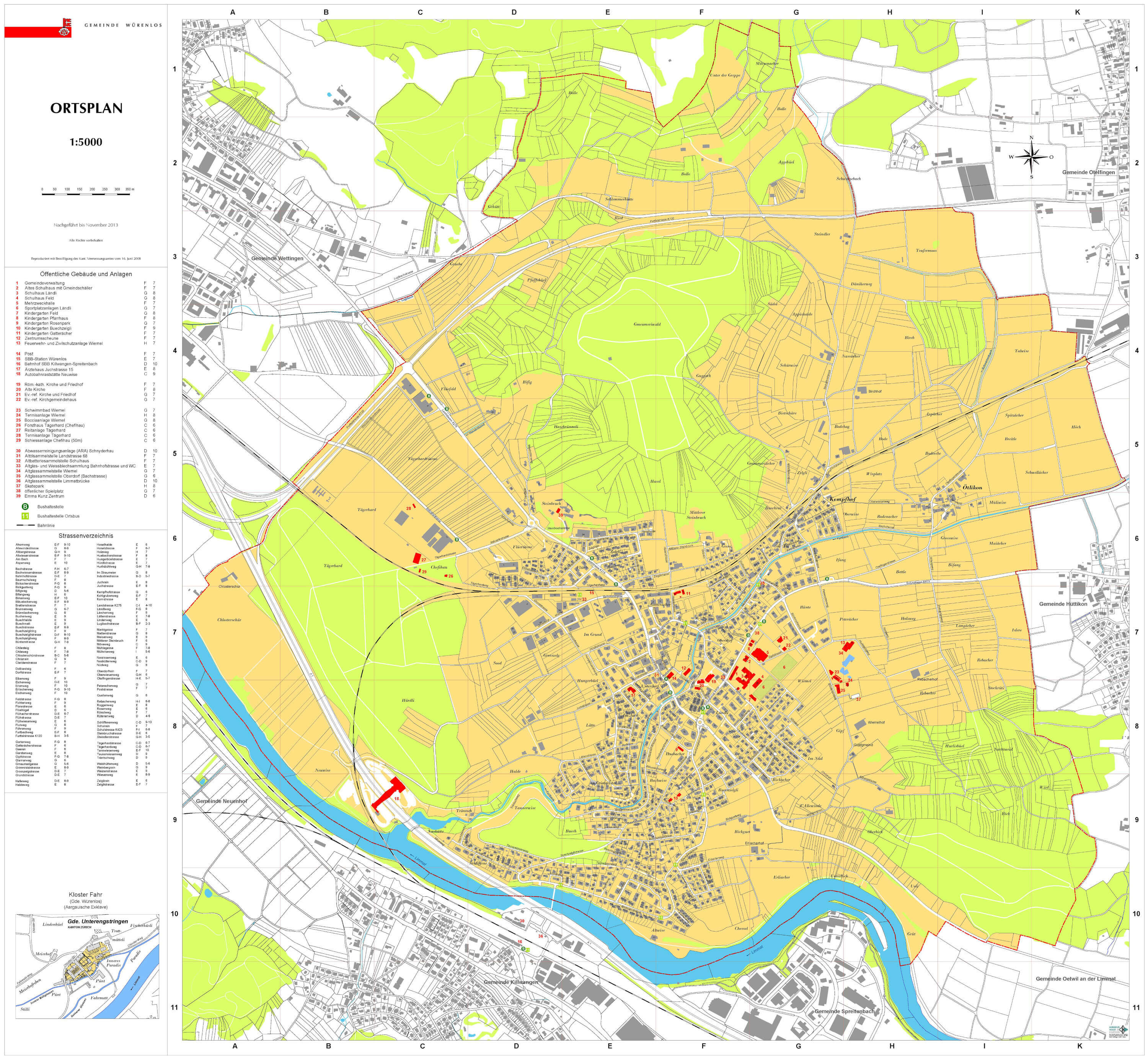 |
| 1:5000 (1,03 MB) | 1:5000 (1,19 MB) |
| Ortsplan Stand 2010 | Ortsplan Stand 2002 |
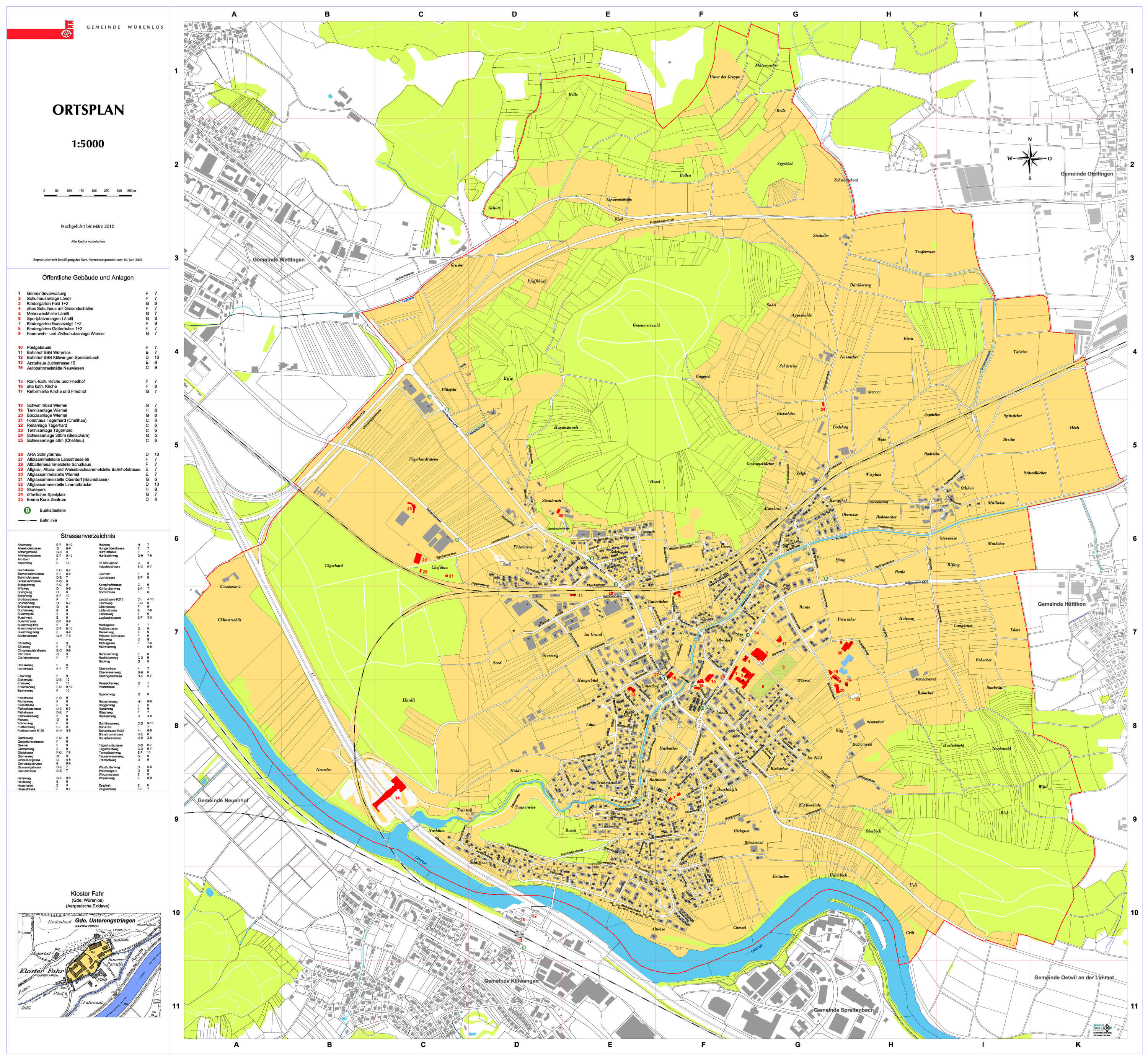 | 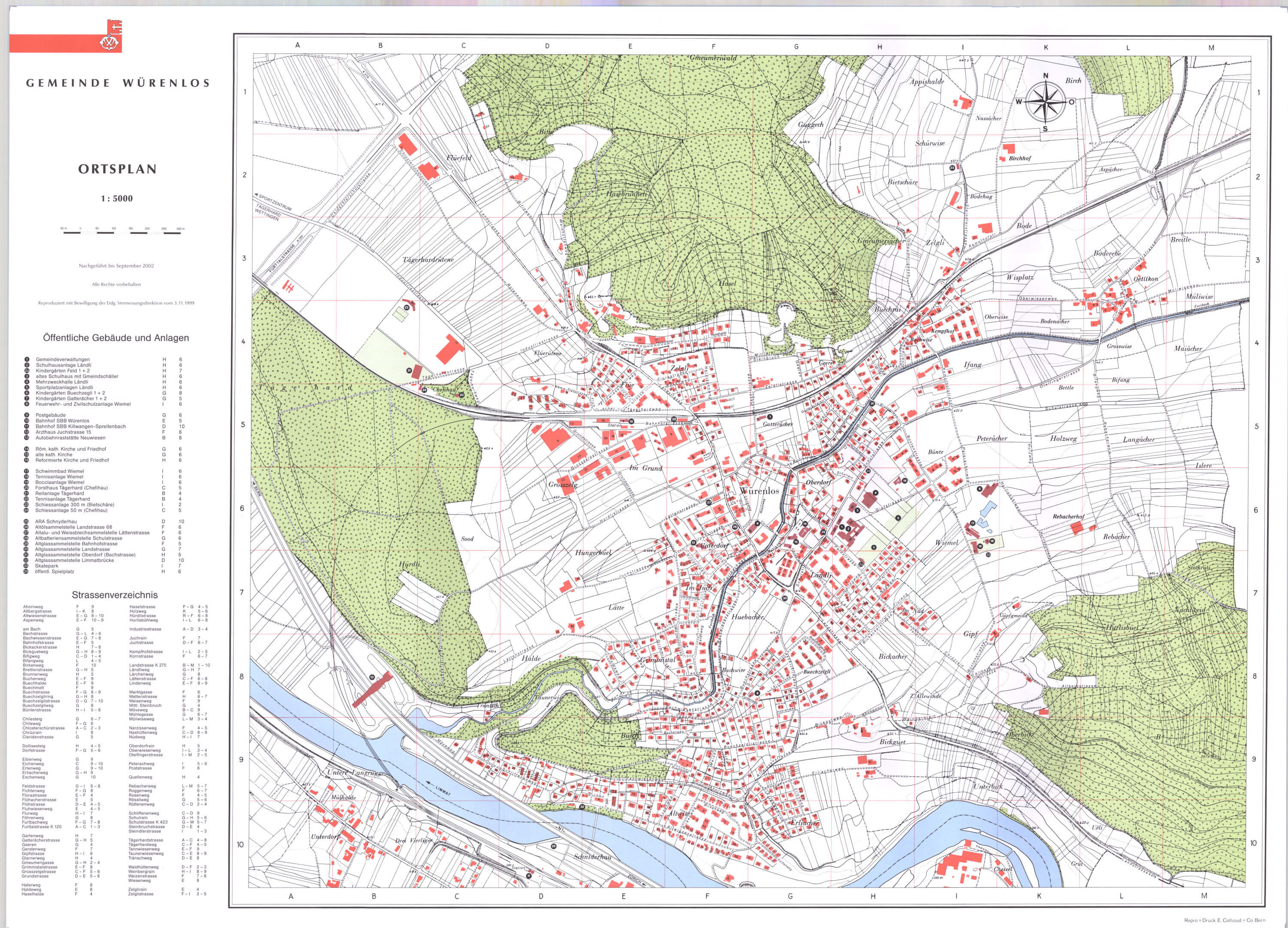 |
| 1:5000 (1,2 MB) | 1:5000 (jpg-File, hohe Auflösung, Grösse: 1,03 MB) |